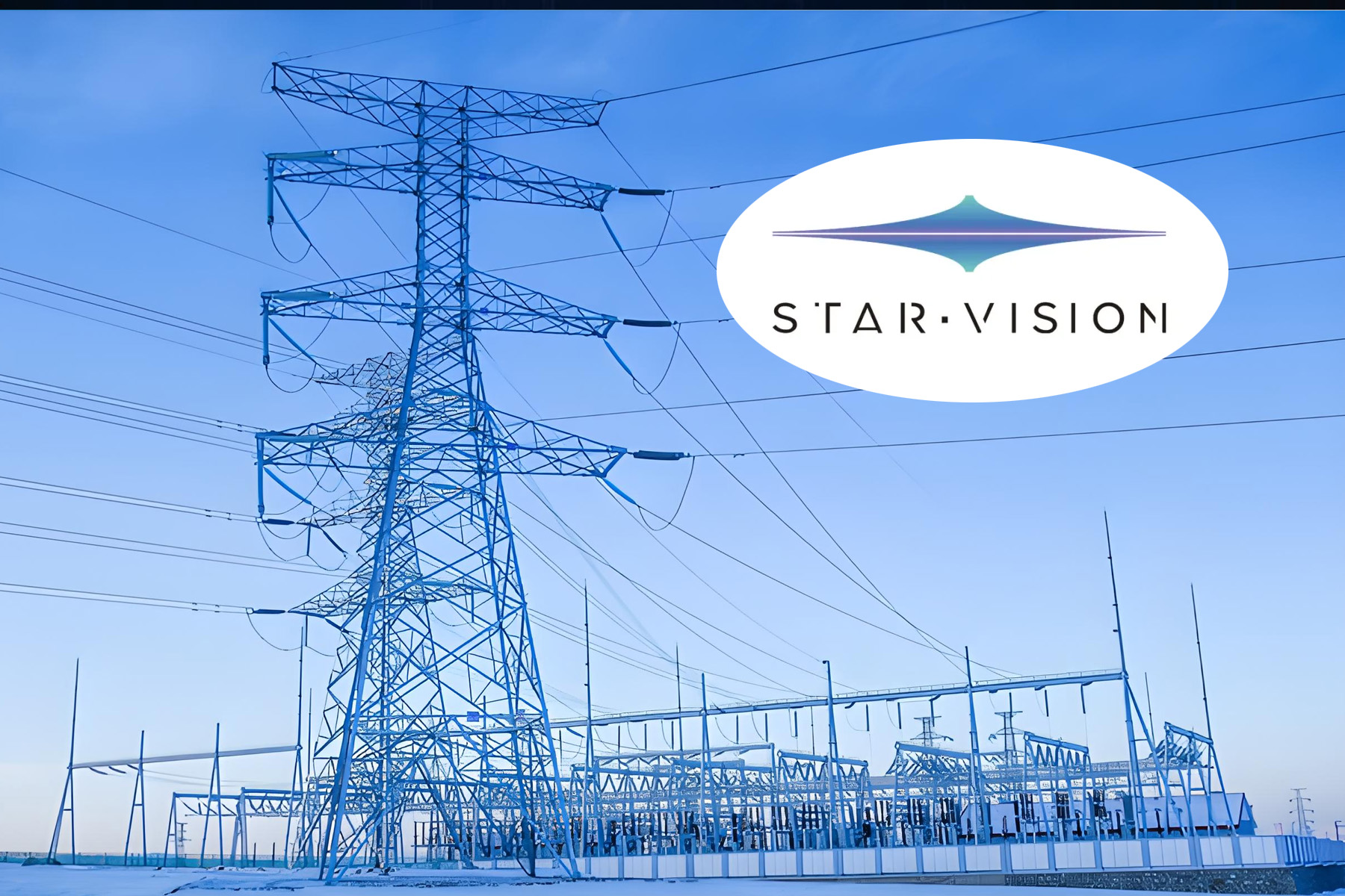
Satellite Intelligence for Power Infrastructure
AIRES Technology's Smart SRS Power Grid Safety Monitoring System uses satellite remote sensing, InSAR deformation analysis, and AI to monitor transmission corridors, towers, and substations for geological hazards, structural tilt, wildfire risk, icing, flood inundation, and external damage — at mm-level accuracy and quasi-real-time frequency.
Time-series InSAR satellite analysis delivers mm-level ground deformation monitoring along entire transmission corridors — identifying slope instability, land subsidence, and geological hazard risk before towers are affected. Cycle of once every 4–15 days.
Satellite-based structural tilt detection screens towers across vast networks without deploying physical sensors — identifying displacement and inclination changes through multi-temporal optical and SAR analysis with mm precision.
High and low orbit satellite data fusion provides quasi-real-time fire point detection every 10 minutes — delivering fire coordinates, danger level classification, and spread forecast predictions. Accuracy >85%.
Satellite remote sensing combined with meteorological big data delivers 24–72 hour advance icing prediction along transmission lines — enabling preventive maintenance dispatch before ice loads develop. Daily frequency, average line accuracy >80%.
Microwave remote sensing satellites penetrate cloud and fog to identify flood-submerged transmission infrastructure — with flood depth extraction via high-precision DEM, even when optical imagery is unavailable.
Large-scale macro-monitoring detects construction activity, engineering vehicles, and trenching operations near transmission corridors — with 2-day detection cycle and better than 2m spatial resolution.
National grid transmission corridor safety monitoring
Power company geological risk assessment programme
Substation and tower structural health monitoring
Wildfire prevention and early warning for power infrastructure
Flood response and post-disaster infrastructure assessment
New transmission route planning and geological risk avoidance
Managing transmission infrastructure at national scale creates monitoring challenges that ground-based sensor networks alone cannot solve economically. Remote and mountainous corridors, thousands of individual towers, and climate-driven hazards — wildfires, icing, floods, landslides — require a monitoring approach that covers vast distances systematically and continuously.
AIRES Technology's Smart SRS (Satellite Remote Sensing) Power Grid Safety Monitoring System provides an integrated satellite intelligence solution for power transmission operators — delivering risk identification, early warning, and emergency response support across entire transmission networks.
The system integrates multiple satellite technologies for complete coverage:
| Technology | Capability |
|---|---|
| SAR (Synthetic Aperture Radar) | All-weather ground deformation, flood mapping |
| InSAR / Time-series InSAR | mm-level deformation measurement over time |
| Optical satellites | High-resolution visual inspection, change detection |
| Multispectral satellites | Vegetation health, fire detection |
| Geosynchronous orbit satellites | High-frequency quasi-real-time monitoring |
| Low-orbit satellites | High-resolution detailed analysis |
| Meteorological data fusion | Icing and storm prediction |
Technology: Time-series InSAR Accuracy: mm-level Frequency: Once every 4 days (fastest) to once per month Coverage: Large-scale continuous monitoring along entire transmission corridors
Identifies: Slope instability, ground subsidence, geological movement that threatens tower foundations — providing risk maps and safety warnings across the full transmission route before problems manifest physically.
Technology: Multi-temporal optical + SAR Accuracy: mm-level displacement and inclination Function: Screens towers across entire network without physical sensors
Detects tower inclination and displacement changes — identifying towers requiring immediate inspection and those developing gradual tilt trends that indicate foundation issues.
| Parameter | Value |
|---|---|
| Data sources | High + low orbit satellite fusion |
| Monitoring frequency | 1 time per 10 minutes |
| Detection accuracy | >85% |
| Output | Fire point coordinates, danger level, spread forecast |
Quasi-real-time wildfire monitoring enables power companies to pre-emptively de-energise vulnerable sections, dispatch fire resources, and predict spread direction relative to transmission infrastructure.
| Parameter | Value |
|---|---|
| Prediction window | 24–72 hours advance |
| Data sources | Satellite remote sensing + meteorological big data |
| Frequency | 1 time per day |
| Accuracy | >80% average line-level accuracy |
Advance icing prediction enables maintenance crews to reach towers in advance of ice loading — applying anti-icing measures, deploying de-icing equipment, or adjusting load management before the event.
| Parameter | Value |
|---|---|
| Response time | Within 24–36 hours of disaster event |
| Coverage | Pre-event, post-event, and recovery mapping |
Rapid satellite mapping for disaster assessment — providing infrastructure status maps for emergency response teams within 24–36 hours of earthquakes, floods, landslides, or severe storms affecting the grid.
| Parameter | Value |
|---|---|
| Frequency | 1 time per 10 minutes |
| Spatial resolution | 50 metres |
| Function | Storm eye tracking and transit monitoring |
Quasi-real-time storm tracking with high spatial resolution — enabling power dispatchers to monitor storm transit relative to transmission corridors and prepare ahead of severe weather arrival.
| Parameter | Value |
|---|---|
| Time resolution | 1 time per 2 days |
| Spatial resolution | Better than 2 metres |
| Detection targets | Construction sites, engineering vehicles, trenching, excavation |
Automatic extraction of human activity near transmission corridors — identifying third-party construction and excavation that poses risk to underground cables and tower foundations before damage occurs.
Technology: High-resolution optical + SAR satellite analysis Optical resolution: Better than 2 metres SAR resolution: Better than 3 metres
For new transmission route design — satellite analysis identifies geological hazard zones, unstable terrain, flood-prone areas, and optimal tower siting positions before ground surveys begin, reducing planning costs and avoiding high-risk routes.
Technology: Microwave remote sensing (penetrates cloud/fog) Capability: Flood area mapping + depth extraction via high-precision DEM Advantage: Operational when optical satellites are blocked by cloud cover during flood events
| Output | Description |
|---|---|
| Deformation rate maps | Time-series InSAR deformation velocity visualisations |
| Risk assessment reports | Priority-ranked tower/corridor risk lists |
| Wildfire intensity maps | Real-time fire point locations with danger ratings |
| Flood inundation maps | Submerged infrastructure extents with depth estimates |
| Icing forecast reports | Line-specific icing probability and timing |
| Change detection reports | External activity near corridor with mapped locations |
| Emergency response maps | Pre/post disaster infrastructure status |
The system integrates with power company GIS platforms, EMS (Energy Management Systems), and emergency response workflows — delivering actionable data into existing operational tools rather than requiring separate monitoring interfaces.
Get in touch with our team for a product demo, pricing information, or to discuss how Power Grid Remote Sensing Safety System can be deployed in your organisation.